Situated in the subtropics, and flanked by the south Atlantic Ocean, Namibia is famous for its stark beauty. Here are a few photos illustrating this beauty.
The cold Benguela current, which drifts northward from Antarctica, has a massive influence on the climate. Cool, dry air is pushed inland, creating a temperate coastline, and the extreme desert conditions of the Namib.
 |
| at a Himba village near Kamanjab |
 |
| Grootberg Lodge has spectacular views |
 |
| sunset at Grootberg |
 |
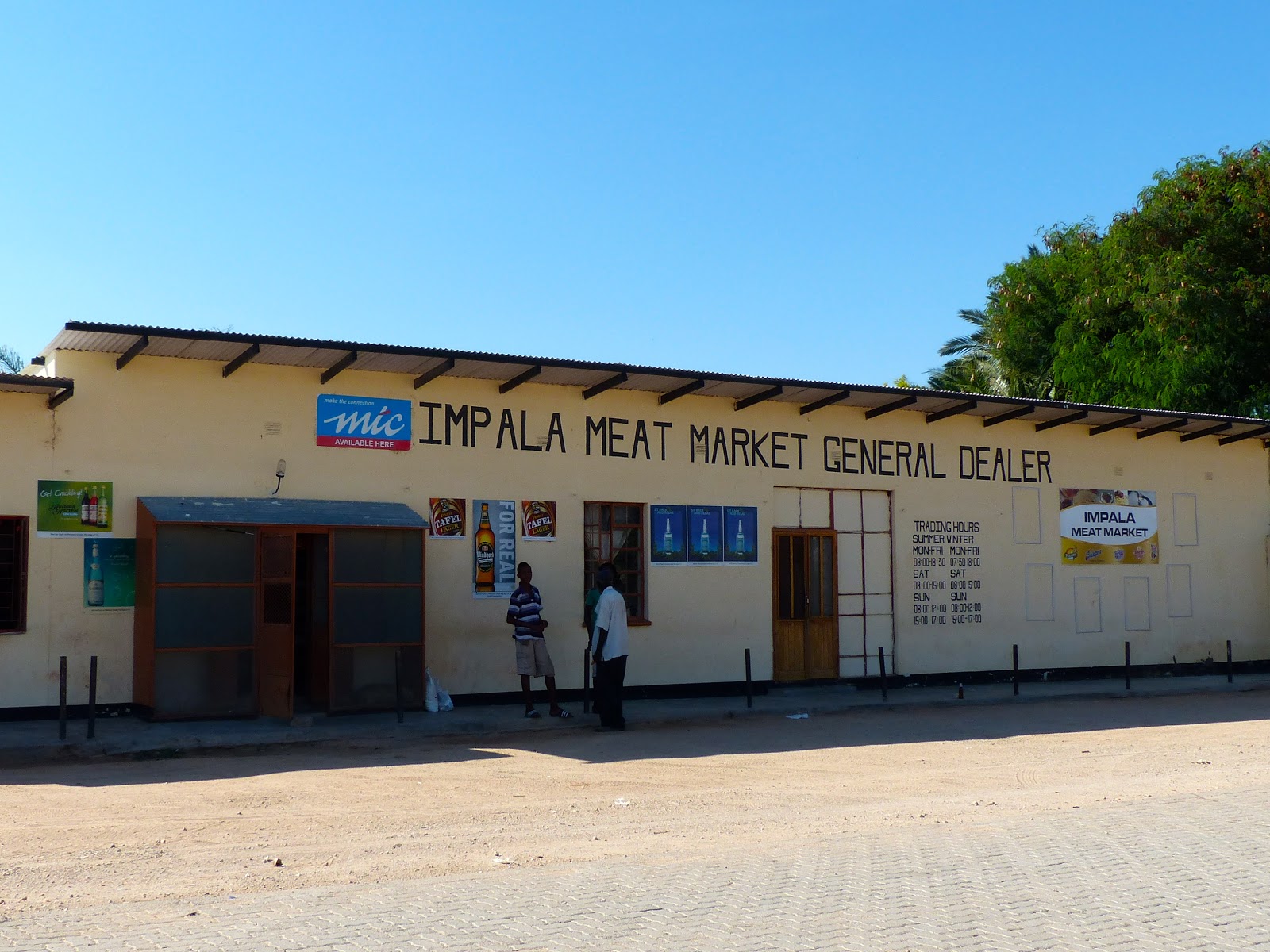
| roadside stall |
At
Twyfelfontein (whose name means 'Doubtful spring') is an extensive and ancient rock art gallery which was declared a Unesco World Heritage Site - Namibia's first - in 2007. Most engravings date back 6,000 years and were probably the work of ancient San hunter-gatherers. There are 2,500 engravings showing animals, animal tracks and geometric designs as well as a few human figures. Some engravings depict animals that are no longer found in the area – elephants, rhinos, giraffes and lions – and an engraving of a sea lion indicates possible contact with the coast more than 100km away.
 |
| Twyfelfontein rock engravings |
 |
| Twyfelfontein rock engravings |
Not far away in an area of open
veld is a
Petrified Forest scattered with petrified tree trunks up to 45m long and 6m in circumference, which are estimated to be around 260 million years old. The original trees belonged to an ancient group of cone-bearing plants that are known as Gymnospermae. Because of the lack of root or branch remnants, it’s thought that the trunks were transported to the site in a flood from modern-day Congo.
 |
| Petrified forest, Damaraland |
About 50 individual trees are visible, some half buried in sandstone and many perfectly petrified in silica – complete with bark and tree rings.
 |
| Petrified forest, Damaraland |
 |
| a road to nowhere |
The
Spitzkoppe are a group of bald granite peaks that rise above the plains about 150km from Swakopmund, and which were the filming location for
2001: A Space Odyssey in The Dawn of man sequences.
 |
| part of the Spitzkoppe and Pondoks; campsite in the foreground |
The climate on Namibia's
Skeleton Coast is surprisingly temperate (about 15°C lower than further inland) due to the chilly South Atlantic currents, and
Cape fur seals thrive in these conditions. The name Skeleton coast apparently derives from the whale and seal bones that once littered the shore from the whaling industry, although the coast also harbours the skeletal remains of many
shipwrecks caught by offshore rocks and fog. Cape Cross Seal Reserve is home to a colony of 100,000 seals - one of 25 such colonies (see pictures
here).
 |
| whale bones near Cape Cross Seal Reserve |
 |
| shipwreck and skeleton of a Cape fur seal |
Stuck on the South Atlantic coast and surrounded by desert, the town of
Swakopmund features German art nouveau architecture, seaside promenades, half-timbered homes and colonial-era buildings. It sells itself as the adventure capital of the region.
 |
| Hohenzollern Building, Swakopmund |
 |
| sandboarding between Swakopmnd and Walvis Bay |
The towns of Swakopmund and nearby
Walvis Bay are surrounded by the
Namib-Naukluft National Park, one of the world's largest national parks. The Park covers 23,000 sq km of arid and semi-arid land, and protects various areas of vast ecological importance in the Namib (the world's oldest desert) and the Naukluft mountain range.
 |
| looking across the vista of Moon landscape, Namib-Naukluft National Park |
 |
| sign marking the Tropic of Capricorn, 23°26′13.9″ south of the equator |
Most of Namibia receives less than 10 inches (250 mm) of rain (the entire coastal region has less than 1 inch/25 mm); 80% of this rain falls between October and April. Coming from a
place which holds most of the world records for the most amount of rainfall, we had a stark reminder (if we needed it) of the lack of precipitation when passing through the aptly-named settlement of Solitaire. As a comparison, Reunion's world record for rain in 24 hours is 1825mm.
 |
| rainfall in Solitaire |
 |
| Solitaire, a few buildings in central Namibia |
Sesriem ('six thongs': the number of joined leather ox-wagon thongs necessary to draw water from the bottom of the nearby gorge) is the gateway and base town for the desert landscape of Sossusvlei, Namibia's major tourist attraction.
 |
| Hot-air ballon at sunrise, Sossuvlei, seen from Dune 45 |
Sossusvlei valley is dotted with enormous sand dunes (up to 300m high) interspersed with vlei (low, open landscapes). Watching the sun rise from the top of Dune 45 is a favourite activity here.
 |
| vlei near Dune 45 |
After leaving the Namib-Naukluft we headed across country to eastern Namibia and the ancient semi-arid
Kalahari desert, where we spent the final part of our trip.
 |
| Kalahari desert, Namibia |
 |
| sunset storm, Kalahari |
See also: