In the
Malagasy language the island is known as
Nosy Boraha ("
nosy" means "island").
|
|
Map of island
(black line = surfaced road) |
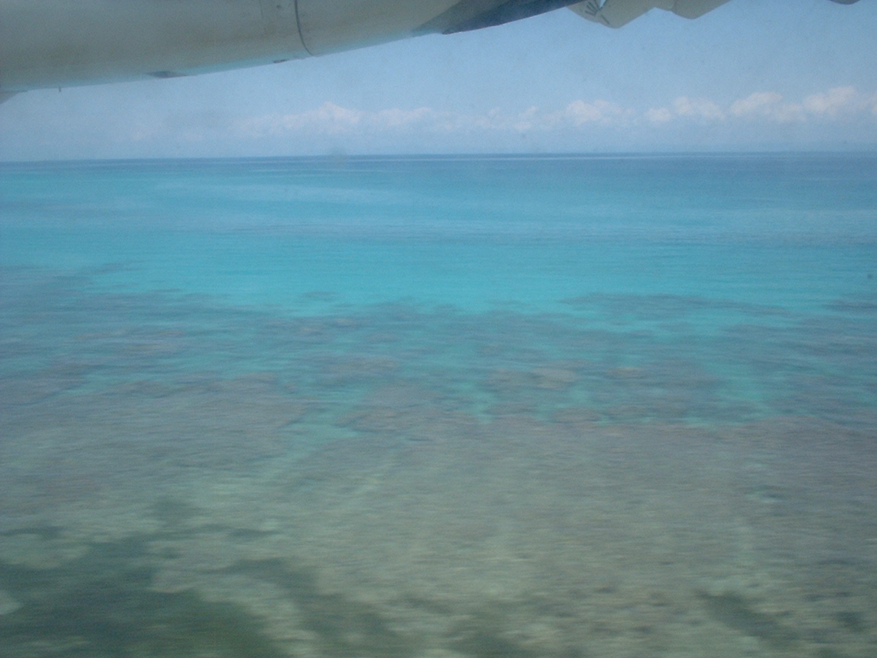
We flew to
Toamasina (Tamatave) from Reunion Island, stayed there overnight, then took a short one-hour domestic flight to Ile Sainte Marie.
 |
| coming in to land |
The airport is in the island's south, and our hotel, the
Princess Bora, was quite close to the airport. Transfer to the hotel was on a
zebu cart!
 |
| our airport>hotel transfer |
 |
| room veranda |
The island is quite well-known for
humpback whale watching between June and September, however as we were there in October it was too late to see any. It's possible to
scuba-dive all year round however.
There are only about 10 km of surfaced road on the whole island, so the best way of getting around is by bike (short distances), motorbike, or 4x4 for longer distances.
 |
| roadside view |
One of the attractions of the island is an even smaller island to the south called
Ile aux Nattes.
 |
| going to Ile aux nattes |
A short boat hop across, it is an idyllic island with lush vegetation, no cars and basic accommodation and eating places.
 |
| Ile aux Nattes vegetation |
 |
| Ile aux Nattes |
 |
| lighthouse, Ile aux Nattes (Madagascar's first) |
 |
| view, Ile aux Nattes |
 |
| dragonfly |
We also saw some
paracress growing there, which is a plant used in Madagascar's national dish,
romazava. Paracress is quite unusual as it has the particularly of numbing your mouth when you eat it.
 |
| Romazava |
We also saw some
lemurs, an animal Madagascar is famous and unique for.
 |
| Lemur on Ile aux Nattes |
 |
| Lemur on Ile Ste Marie |
Ile Ste Marie used to be a famous site for
pirates in the 17th and 18th century, and apparently some of them are buried in a local cemetery.
 |
| Pirate cemetery |
 |
| local children |
All too soon it was time to leave and head back to Reunion, but we would love to go back to Ile Ste Marie one day.
Acknowledgements:
Useful links about Ile Ste Marie: