Tuesday, 24 July 2018

Oslo

We began our visit to Norway in Oslo, and started by visiting the Royal Palace. Apparently the flag flying just means the Royal Family is in the country but - unlike the UK - not necessarily in the palace at that time.

Norwegian Royal Palace in Oslo

one of the palace guards

another palace guard (female), next to the guard house

To get to the Royal Palace from the Grünerlokka district where we were staying we walked through Our Saviour's Cemetery and saw the grave of Edvard Munch. This was fitting as straight after the Royal Palace we headed to the Nasjonalgalleriet where we saw his world famous painting, The Scream.


Bust of Edvard Munch on top of his gravestone

The Scream by Edvard Munch in the National Gallery

reindeer meat patties for lunch, served with lingonberries 

After lunch we paid a visit to the 17th-century Oslo Cathedral, and then the Opera House, which sits on the edge of Oslo fjord and was designed to ressemble a glacier (the image is probably more effective in winter; we were there on a very hot summer's day!)

Interior of Oslo Domkirke

Oslo Opera House (Operahuset)

Oslo Opera House seen from further away 

Later in the afternoon we headed to Frogner Park, to see the world's largest permanent sculpture installation made by a single artist, Gustav Vigeland. Altogether there are 212 sculptures in granite, bronze, or wrought iron. The Fountain is surrounded by 20 'trees' and 60 reliefs, all representing the eternal life cycle of mankind.
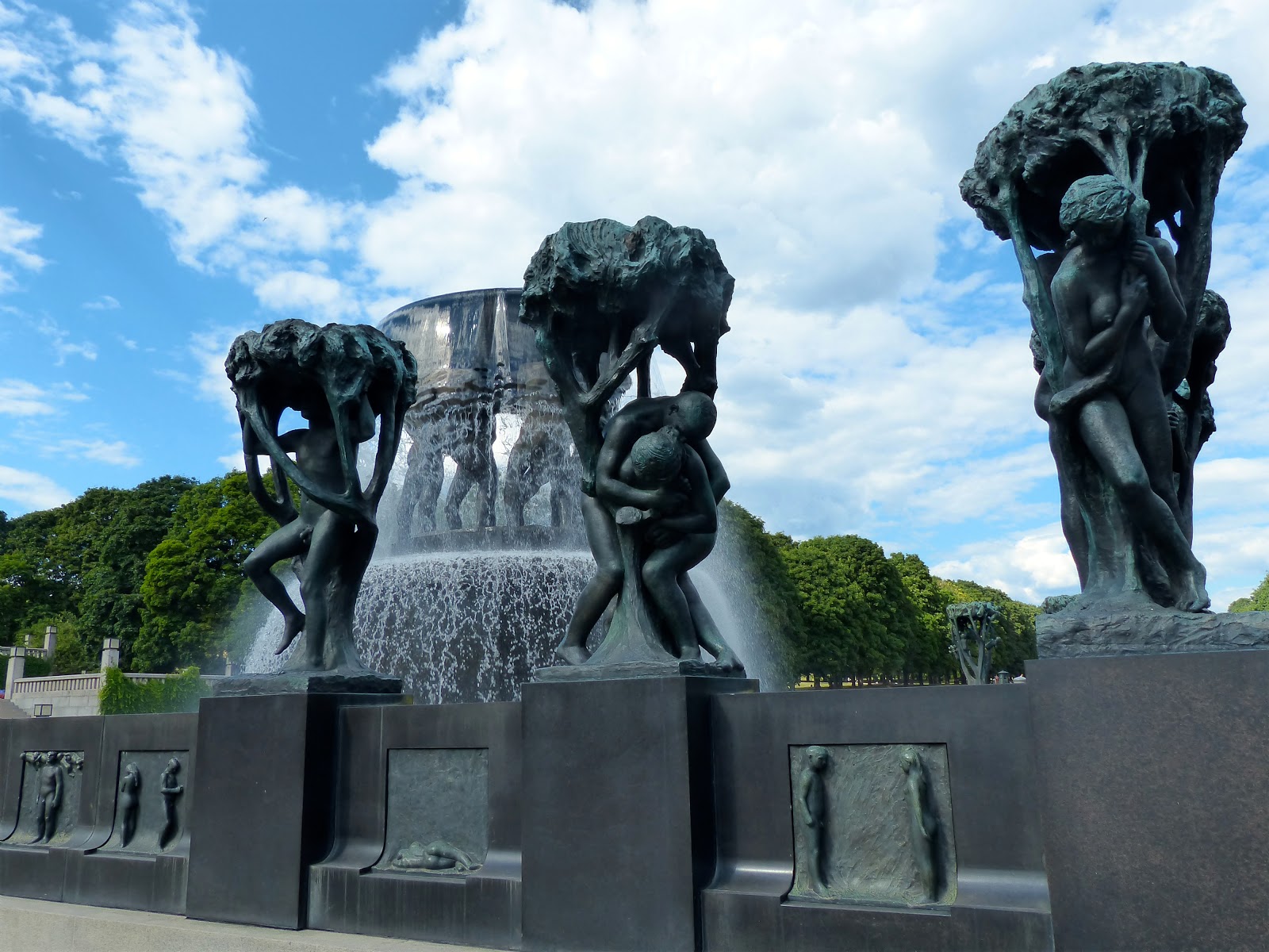

The Fountain
The monolith itself has 121 interwrithed figures, and is surrounded by 36 figure groups that portray the cycle of life.

The monolith

Close-up of the monolith

Wrought iron gates, looking across the fountain to the main gate

The Bridge forms a 100m-long, 15m-wide connection between the Main Gate and the Fountain, and is lined with 58 sculptures, including the well-known 'Angry Boy' or 'Little Hot-Head' (Sinnataggen).

Sinnataggen

The next day we visited The Munch Museum, dedicated to the life and works of Edvard Munch, followed by the Astrup Fearnley Museum of Modern Art: a privately owned contemporary art gallery located in the Tjuvholmen urban renewal area.

'Between the Clock and the Bed': a self-portrait in the Munch-museet

the child part of Damien Hirst's 'Mother and Child (Divided)' work 

Anish Kapoor artwork at Astrup Fearnley Museet

In the afternoon we visited the Nobel Peace Center, one of my favourite museums of all those we visited in Oslo. It serves as a showcase for the Nobel Peace Prize and the ideals it represents. In the Nobel Field room all laureates are presented on their own screen, surrounded by a thousand small lights; every 15 minutes all screens show the same name and a recording of that prize winner's voice is heard.

The Nobel Field in the Nobels Fredssenter

We ended our second day by visiting Oslo City Hall, which was built in the 1930s and 40s and completed in 1950 to mark Oslo's 900th anniversary. The Nobel Peace Prize ceremony takes place every December in the Main Hall.

Oslo City Hall (Oslo rådhus) seen from outside

Main Hall of Oslo rådhus

On our final full day in Oslo we took a ferry west across Oslo fjord to the Bygdøy peninsula which is home to five national museums. We started with the impressive Viking Ship Museum which exhibits three viking ships, two of which are the best-preserved such ships in the world.

The Oseberg ship in the Vikingskipshuset

Our next stop was the nearby Norwegian Museum of Cultural History, a large part of which is open-air as it houses 160 historic buildings that have been relocated from elsewhere in the country. The museum was first established in 1894.

Living history: a modern day teacher and children participating in an
educational programme at the Norsk Folkemuseum, dressed in 19th clothes

One of the museum's most significant buildings is the early 13th-century Gol stave church, which was brought to Bygdø in 1885 and restored. Stave churches are medieval wooden church structures, and are among the oldest surviving wooden buildings on earth.

Gol stave church at Norsk Folkemuseum 

Our final museum of the day was the Fram Museum: "home of the world's strongest polar vessel". It tells the story of Norwegian polar exploration, and centres mainly on the original exploration ship Fram that was used in expeditions of the Arctic and Antarctic between 1893 and 1912. It is though to have sailed further north (85°57'N) and further south (78°41'S) than any other wooden ship.

The vessel Fram at the Fram Museum

The next day we left for the rest of our trip to Norway (Bergen & the Fjords; Tromso and the Far North) but we spent 24 hours in Oslo at the end of our trip before continuing our travels. We had time to visit the Ekebergparken Sculpture Park in south-east Oslo where 39 artworks are on display, including pieces by Salvador Dali, Botero, Renoir, and Rodin.

'Man and Woman, Adoration' by Vigeland

'Daphne in the Fall' by Kirsten Kokkin?

'Dreaming Woman' by Knut Steen

the site-specific work 'Dilemma' by Elmgreen & Dragset

I was particularly amused by two things in Oslo: the number of hairdressers' shops, and these heated dog kennels outside a restaurant.

heated dog kennels for you to leave your pet while eating at a restaurant

one of the many hairdressers in Norway!


See also:

Saturday, 30 June 2018

Pointe Langevin: the European Union's southernmost point

The municipality of Saint-Joseph in Reunion Island recently had surveys carried out to determine where the extreme southern point of Reunion is (apparently there was some doubt as to whether it was actually in Saint-Joseph or the neighbouring municipality of Saint-Philippe). These surveys have shown that the exact location is at Pointe Langevin in Saint-Joseph and so an orientation table and signpost showing distances to various cities around the world were recently installed there. As Reunion is the southernmost region of Europe, this also makes Pointe Langevin the most southerly point of European Union territory (when including overseas territories)!


geographic coordinates of Pointe de Langevin


the actual marker is in the background in the middle of the picture 

a rather windswept me next to the triangulation point

The triangulation point marker can be reached via a short walk from a nearby parking area, and in doing so you'll pass in front of a natural arch and blowhole.

natural arch, Pointe de Langevin 


Incidentally Reunion is also home to the easternmost point of European territory: Pointe des Cascades, at Sainte-Rose (55° 50′ 11″ E). But as far as I'm aware there's no marker there (yet).


Further reading:


Tuesday, 1 May 2018

Hellbourg to Belouve hike


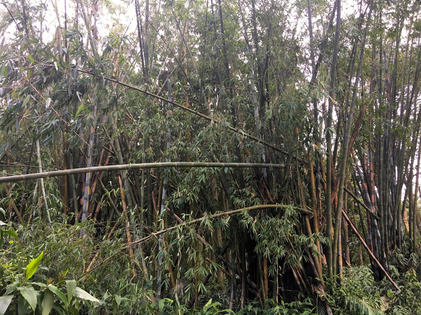
bamboo growing near the start of the hike

The hike from Hell-Bourg to Belouve is 3.5 km long, and climbs about 530 metres. The ONF sign (see below) says 1¾ hours are needed, but it only took us an hour and twenty minutes.

sign at the beginning of the hike, start of the path to right.


the hike up to Belouve is only one of several hikes
possible from the same starting point

Although Severe Tropical Storm Fakir had barrelled past Reunion only a few days previously, the path and surroundings were in a surprisingly good state. 

shrine beside the path

view from the path across the cirque of Salazie;
flat-topped Piton Enchaing to the left

fuchsia growing wild

Hydrangeas growing alongside the path

view across Salazie higher up the path, higher up;
this time Piton Enchaing is to the right

Towards the end of the path you suddenly come across two concrete pillars sticking out at a 45° angle. These are remnants of a now-defunct cableway that was inaugurated on 24th November 1954 and which linked Belouve and Hell-Bourg. It had a span of 1 202 metres, a gradient of 805 metres, and used a 1500-mètre long cable. 

concrete pillars near end of path

Then the path turns a corner and you come across more vestiges, together with another small shrine.

more relics of the cableway

path between the cableway and gîte

Once we arrived at the top we had a picnic lunch before heading back down the same way we came. Incidentally it's said the name of Belouve comes from the Malagasy word Belova which means "important or rich heritage" in English.

It took us 1 hour 20 to hike back down


You might also like:
view of nearby waterfalls when driving home

Sunday, 29 April 2018

Carri baba figue

Severe Tropical Storm Fakir barrelling past Reunion recently meant that we found ourselves with three stalks of bananas blown over. The bananas were inedible as they weren't ripe enough, but we were able to recover three banana flowers, known locally as baba figue, to make a popular local dish: carri baba figue (carri is the general name for Réunion's 'national' dish, normally consisting of meat or fish cooked with onions, garlic, turmeric (safran), thyme, salt, pepper and sometimes tomatoes. Normally served with white rice, rougail, lentils and traditionally leafy green brèdes).

three baba figues 

The first step was to peel the purple outer layers off the baba figues, leaving the central white core.

peeled baba figues

close-up of one of the peeled baba figues

They can they be chopped up and put in a bowl of water with salt for 24 hours. This helps get rid of their bitter taste.

chopped up baba figues in a bowl of water with salt

The next day after draining the chopped baba figue, slice up about 300 grams of boucané (smoked pork meat) and 300 grams of smoked sausages and let it fry in the bottom of the pan with a little olive oil for 10 minutes.

boucané in the process of being chopped

chopped sausages and boucané in the pan

You will also need to dice 3 tomatoes and one large onion.

dicing the tomatoes 

This should be added to the meat in the pan along with a teaspoonful of turmeric and two pinches of salt.

adding turmeric to the other ingredients 

Cover and cook for 10 minutes, before adding the baba figue and 50 cl of water; leave to cook for 20 minutes over medium heat.

cover and leave to cook

Stir half way through cooking.

stir half way through cooking

Serve hot with white rice, rougail, lentils and brèdes (leafy greens). Bon appétit!


Finished carri baba figue!

Sunday, 22 April 2018

Ilet Bethléem

During the 18th century Reunion was subject to visits from pirates, and some of the islanders living on the coast preferred heading inland to avoid being the target of such attacks. One of the places they went to live is a now-deserted hamlet in the district of Saint-Benoit that later came to be called Ilet Bethléem.

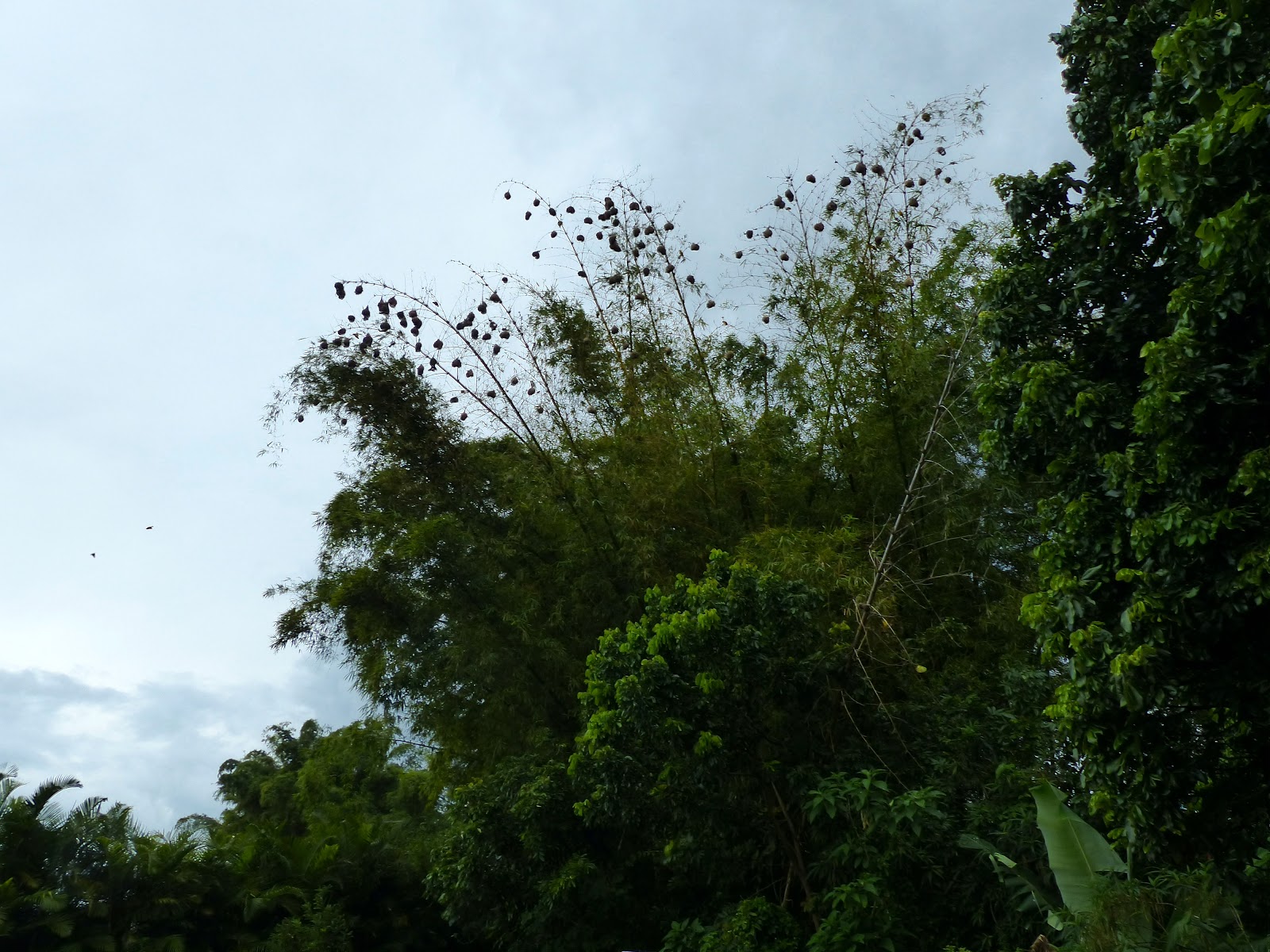
The îlet can easily be visited by anyone at any time, but we recently had the opportunity to join a guided visit organised by Les Aventuriers de l'Est during which we would learn all about the history, fauna, and flora to be found there. We met our guide Geoffroy at the nearby car park, which is home to a large number of weaverbirds who make their nests in the surrounding bamboo.

Weaver bird nests on bamboo stalks

close-up of a male weaverbird and nests

male weaverbird

The walk to the abandoned îlet takes about 20 minutes down a wide sloping path.

crucifix beside the path

sign in Creole beside the path, asking visitors to keep the site clean!

vegetation overhanging the path

shrine beside the path

a Phallus indusiatus, commonly called the bamboo fungus, bamboo
pith, long net stinkhorn, crinoline stinkhorn or veiled lady

Saint-Expedit shrine

a star laid out in stones beside the path,
in reference to the star of Bethlehem.

The îlet is beside the Marsouins river, which must have been a good source of fresh water for the villagers, who subsisted by hunting and fishing.

Riviere des Marsouins, with bamboo on the opposite bank

In 1855 the wife of Governor Hubert de Lisle became concerned about the poverty of the îlet's 500 or so inhabitants, and built a chapel - dedicated to Our Lady of Fatima - and workshops there. It was she who gave the hamlet the name of Bethléem. The chapel still stands today and continues to be used.

chapel interior

Four nuns came to instil Christian principles in the girls living there, and to teach them sewing, cooking, and gardening. The hamlet became a parish in 1860, and by 1873 the villagers were healthier and 60 pupils (of which 40 boarders) were attending school. However the nuns ended their charitable activities there in 1935.

chapel exterior

In more recent years a gîte was built, but apparently it never actually opened and so the buildings have fallen into disrepair.

one of the former gîte buildings 


looking through the corrugated iron roof of one of the gîte buildings 


The îlet remains a popular picnic spot.


See also: