Showing posts with label Mafate. Show all posts

Sunday, 9 August 2020

Hiking to Grand Place

It had been a long time since I actually made an overnight trip to Mafate; my last two trips to the cirque were one-day trips to La Nouvelle with visitors, so I probably hadn't slept overnight in Mafate since 2014! But having an enforced staycation in Reunion due to the COVID pandemic was the occasion to hike there with a group of friends. We started our expedition by taking a 4x4 taxi from Riviere des Galets to Deux Bras.

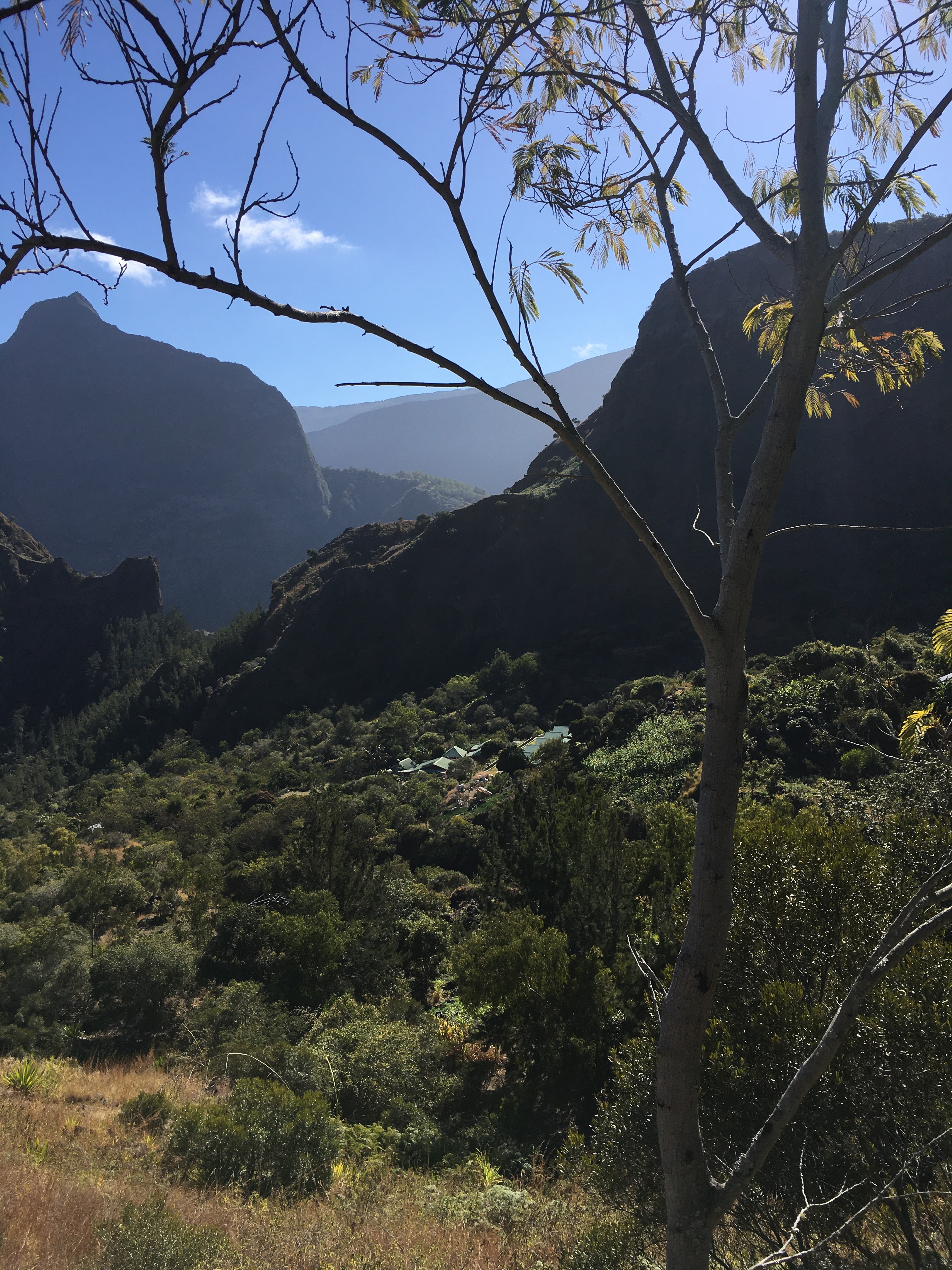
view further into Mafate from Deux Bras

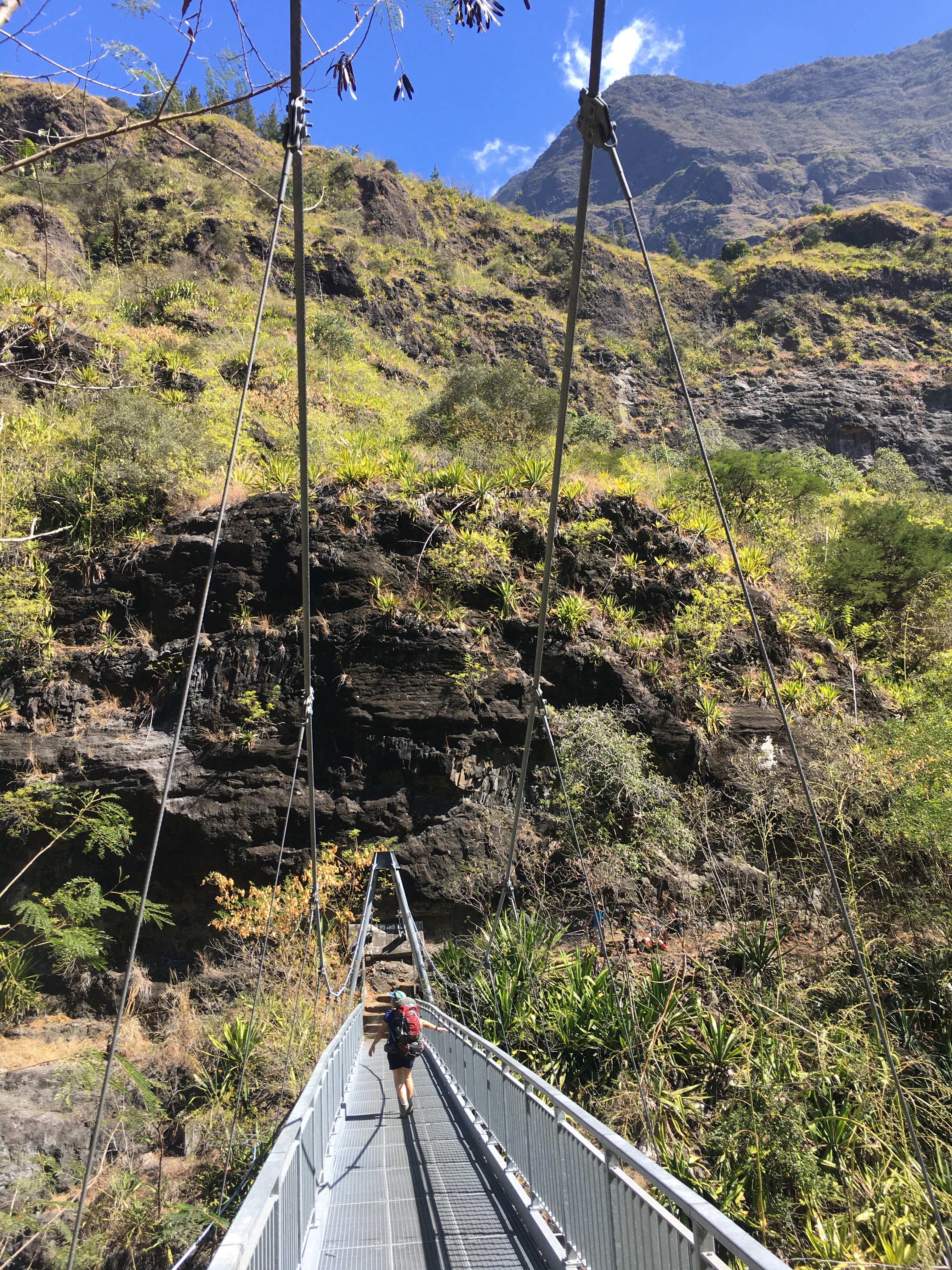
From Deux Bras we started a leisurely hike of ≈7 km and ≈500 metres of positive elevation up to our night's accommodation at Grand Place les Hauts, where we stayed at Gite Pavillon. On the way there we crossed Bras D'Oussy river on a high bridge (more about Bras D'Oussy later).

view from the Bras D'Oussy bridge
looking south-east towards the Gros Morne

view from Bras D'Oussy bridge looking south-west towards Le Maido
(note the red roofs of Cayenne barely visible at the bottom left)

cross by the side of the path on the way to Cayenne

On the way we stopped just outside of the hamlet of Cayenne for lunch.

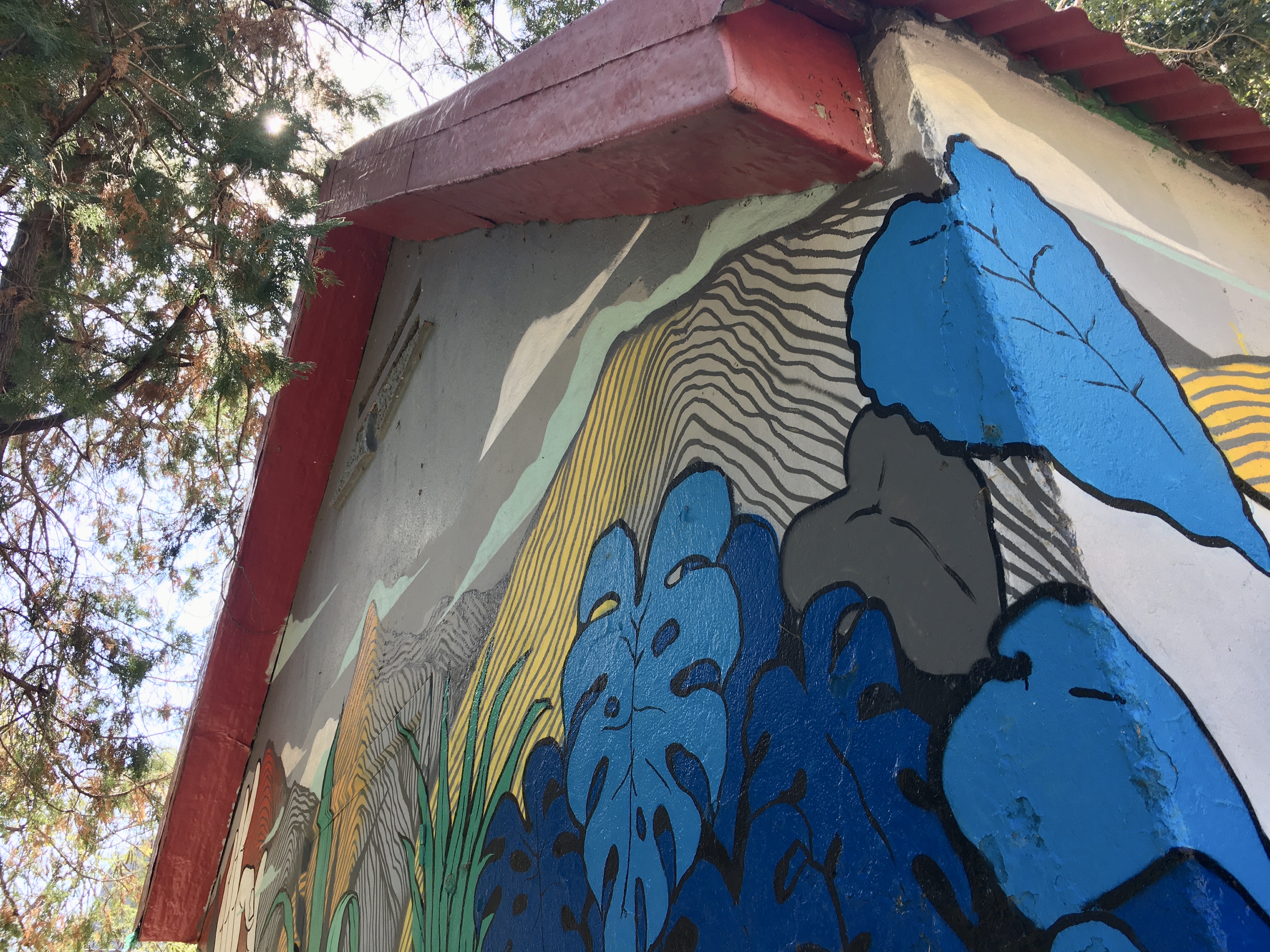
gaily decorated building at our lunch stop near Cayenne

lots of purple ginger bush was growing

After lunch we passed by Grand Place primary school. It's one of eight schools in Mafate (the others are in La Nouvelle, Orangers, Roche Plate, Marla, Aurère, îlet à Malheur, and îlet à Bourse). For secondary school education pupils from Mafate have to board on the coast.

Grand Place school

Grand Place is overlooked by the distinctive pyramid-shaped Piton des Calumets which is 1616 metres high.

nearly there; Piton des Calumets in the background

We arrived at the gîte quite early and were able to rest and enjoy the view. Pavillon is quite practical because it has its own small grocery shop and there's even fresh bread - a rarety in Mafate.

gîte Le Pavillon with Piton des Calumets benind 

looking north-west from behind the gîte

looking north from behind the gîte

We should have been spending two nights in the same gîte, but there had been a mix-up and so the next morning we moved to another gîte about 20 minutes/1 km away called Chez Marcel et Dominique Bilin.

leaving gîte Le Pavillon
(buildings just visible in the centre of the photo)

After dropping most of our stuff off, we then headed off to Roche Ancrée for a few hours. Located between Grand Place and Roche Plate, Roche Ancrée is a nice bathing spot, technically part of the Rivière des Galets river. We headed down a very steep path to get there.

view on the way to Roche Ancrée

view halfway down the path to Roche Ancrée

the bathing spot from above

Some of us had a swim in the icy water before lunch and then dried off in the sun. To make a round trip of it we hiked through Cayenne to get back to Gîte Bilin.

having a dip at Roche Ancrée

looking north on the way from Roche Ancrée to Cayenne,
the hamlet is just visible to the right

arriving at Cayenne

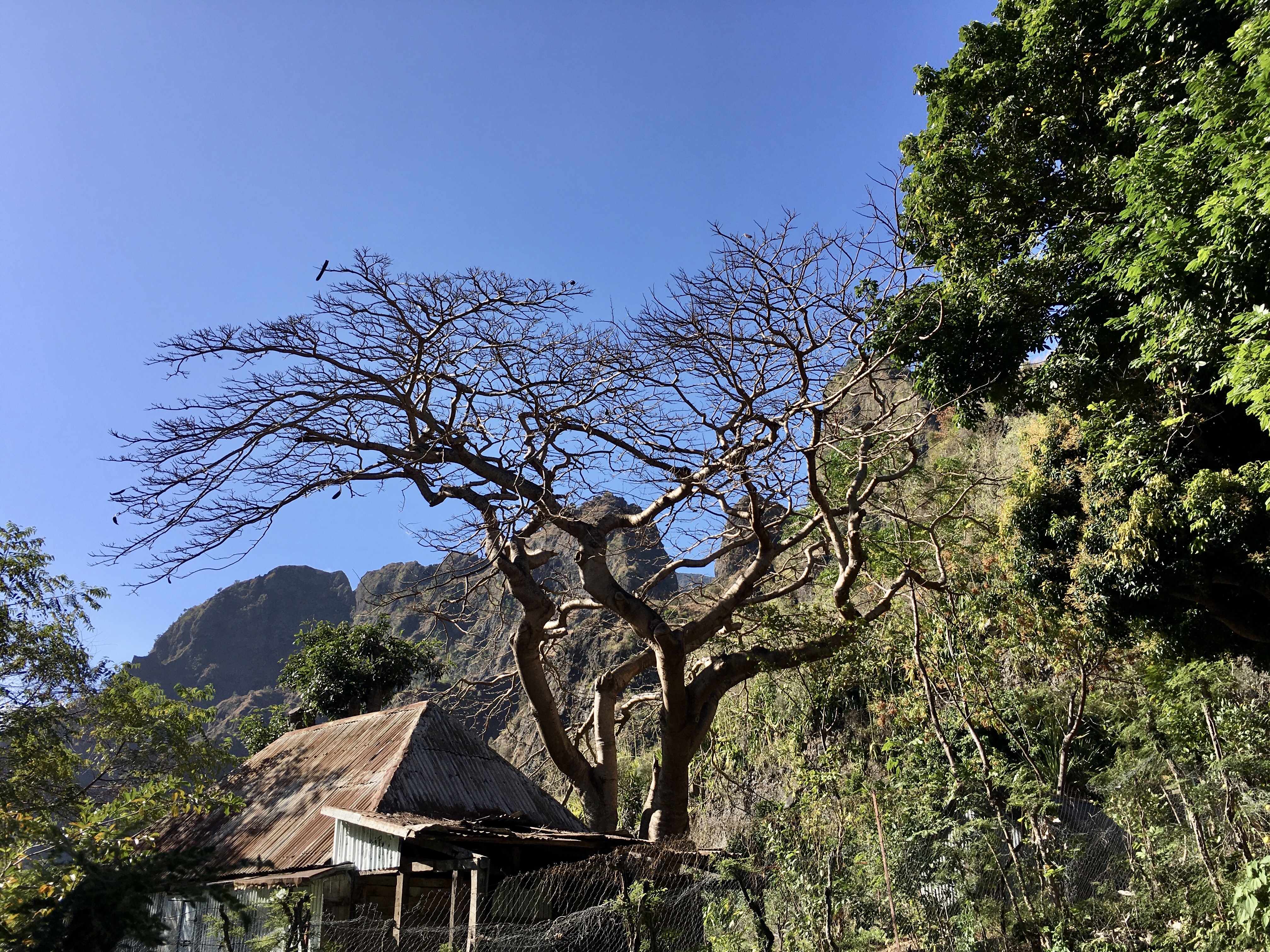
(ficus?) tree roots by the pathside on the way to Cayenne

looking back (south) just before arriving at Cayenne

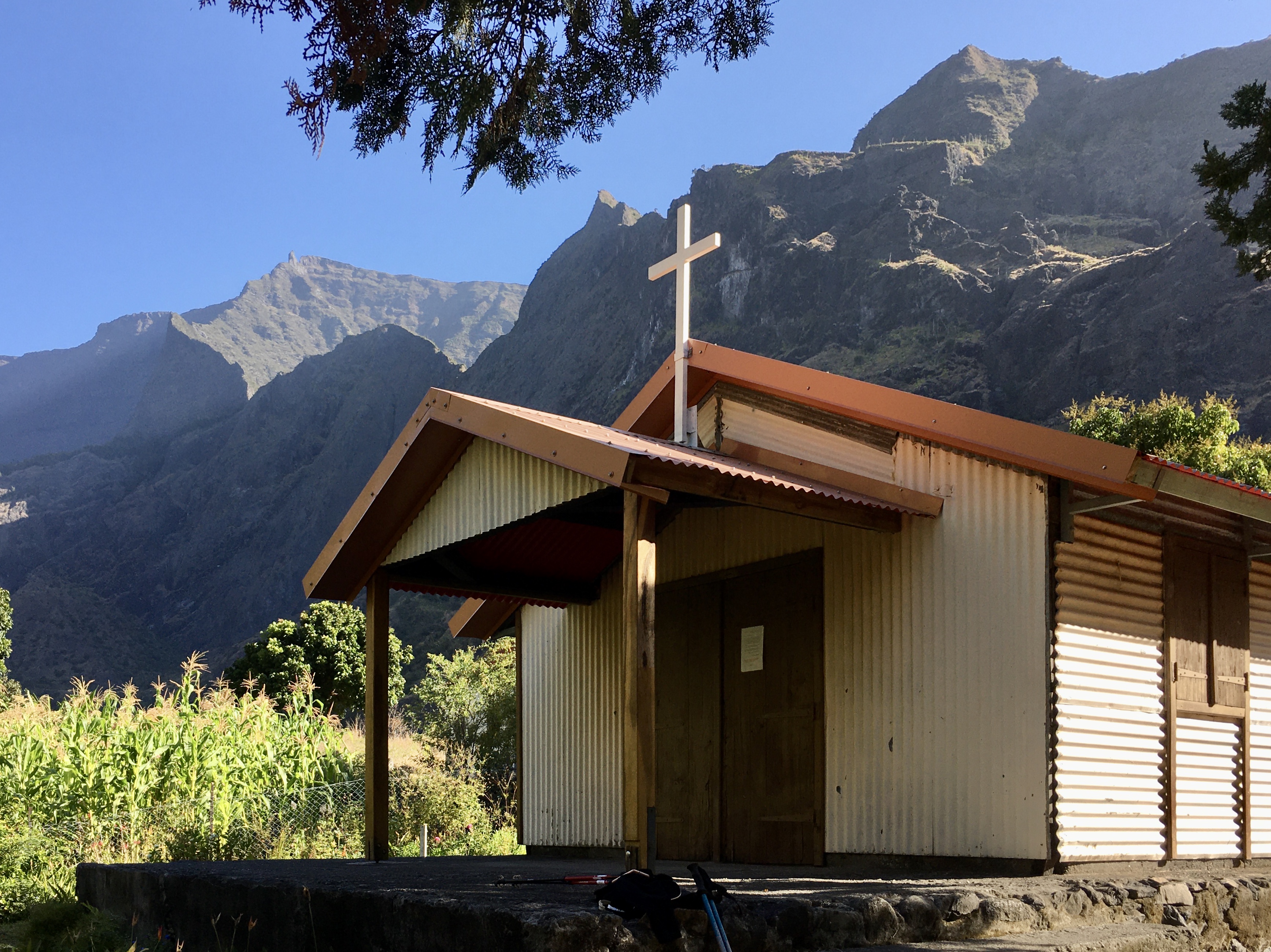
Cayenne church 

a cross at Cayenne 

After our second and final night in Mafate we headed slowly down to Deux Bras, where we had to be by 4pm to get the taxi back to the town of Rivière des Galets. On the way back we stopped at Gîte Bougainvilliers where there's a grocery, a postbox, and a statue of the famous postman of Mafate.

postbox at Gîte Bougainvilliers

Ivrin Pausé was one of the postmen of Mafate from 1951 until 1991. He would leave the post office in La Possession every Monday morning and spend the next fours days hiking 120km on the trails to deliver letters. It's been calculated that during his 40 years of service he hiked a total of 253 000 kilomètres, i.e.  6 times the circumference of the earth. Another well-known postman in Mafate was Angelo Thiburce who was awarded the Order of Merit by Jacques Chirac, but famously said he would have preferred that the government pay him a pair of shoes!

statute of Ivrin Pausé, former postman of Mafate

We then bypassed Cayenne (as we'd been there the day before) and crossed the Passerelle des Lataniers footbridge, before heading down to the level of Rivière des Galets.

crossing Passerelle des Lataniers footbridge

Once there it was time for a picnic lunch and a swim at Bras d'Oussy before heading back to Deux Bras for the 4x4 ride back to "civilisation". From our swimming spot we could see the bridge we'd crossed over the first day.

Monday, 3 February 2020

A round-up of some blog articles about Reunion

While the articles on this blog are written directly by myself, I also work as professional French to English translator and I recently finished translating an interesting series of blog articles about Reunion written by Carole Hoareau. Aimed at tourists to the island, there's lots of useful information in these articles so I thought I'd collect them here for easy access. Most of the titles are self-explanatory and they're listed by order of publication on the blog, first to last. All photos are from the blog.


food in Reunion


Salazie


Bassin des Cormorans


Le Maïdo


frost in Reunion


road in the south of Reunion


an eruption of Piton de la Fournaise volcano 


Kelonia turtle sanctuary, Saint Leu


Mafate


Kaz Insolite, Reunion Island


Thursday, 31 August 2017

A documentary and 2 more podcasts about Reunion

For my third podcast recording session* I recorded two episodes:

- the first was entitled 'What A Waste' and I talk about an unusual visit I made for World Water Way on 22nd April.


The second is called 'Dirty Weekend' and I recount an eventful hike I made a few years ago to Marla in Mafate, when everything that could have gone wrong did!


* For more explanations about why I'm recording podcasts see here and here. The podcasts are organised by the team at Anglais.re, and video recording for these podcasts took place in the studio of O'tv La Réunion. Here I am in front of the green screen:


A University of Reunion Island documentary about Barau's petrels which I translated and voiced was also made available on Youtube this month. Called "Taille-vent, the mountain petrel", it tells the story of this endangered species and the conservation work involved in protecting it.


More viewing/listening:

Sunday, 26 January 2014

Videos for thrill seekers

Here are two recent videos which definitely show some of Reunion's possibilities for adventure.

In the first one, by Epic TV, Réunion plays host to wingsuit pilots Espen Fadnes, Jokke Sommer and Ludo Woerth. Between BASE jumps, they find time to explore  Reunion's waterfalls and cliff diving, but their wingsuit jump is still top priority. After days of planning and scouting, including an ultralight flight and wingsuit jump to scout out the area, the three pilots are ready for a flight from the top of Piton des Neiges (the tallest mountain in the Indian Ocean). But first they must get to the top...


In the second video the local organisation "Slack and run" equip and cross a highline at over 2100 metres altitude at the Trois Salazes Ridge separating Cilaos and Mafate. It's a site that offers a 360 ° panorama at the heart of Reunion (Images: Jean-Philippe Lorgeau & Jean Galabert; Editing: Jean Galabert). Don't watch if you have vertigo!


This second video was featured in the Daily Telegraph, see:Tight-rope walking on La Réunion, Indian Ocean

Sunday, 10 March 2013

Hiking the 3 cirques


The beginning of this month saw us hiking Reunion's three cirques (Salazie, Mafate, Cilaos) over a period of several days.

Col des Boeufs

To be honest we didn't really hike in the cirque of Salazie (this time) ;-) , we only set off from there, from the Col des Boeufs (2011 m) to be precise. From there we hiked to the hamlet of Marla (1600 m), where we spent the night in a gîte, before hiking up the Col du Taïbit the next day.

Marla church (and church bell) 

This was the first time I'd been back to Marla since 2007 or 2008. There are now at least nine gîtes, two  chambres d'hôtes (guest houses) and three épiceries (grocery / convenience stores)! As recently as 2003 there was only one gîte!

view of Marla from the Col du Taïbit

After a good night's sleep we set off to ascend the Col du Taïbit (2090m), which is the gateway to the cirque of Cilaos from Mafate (col means 'mountain pass'). 

Col du Taïbit seen from Marla

The climb from Marla takes an hour or less; the descent on the other side about 2 hours.

Piton des Neiges (3070m, Reunion's highest peak)
seen from the Col du Taïbit

To the left the Gros Morne (3019m, Reunion's 2nd highest peak)
seen from the Col du Taïbit

Tree dripping with beard lichen, Cilaos side of Col du Taïbit

road leading to Ilet à Cordes, seen from Col du Taïbit hiking path

One of the more pleasant stops when you're hiking this path is the herbal tea stand that's been set up by the Trois Salazes Association. They sell 'uphill' (ascenseur) and 'downhill' (descendant) herbal teas for €1; the ingredients depend on, and are adapted to, whether you're climbing or heading down the path! The ascenseur is made from lemon grass, marjoram and St John's wort; the descendant contains mint, cinnamon, geranium, heliotrope and St John's wort.

herbal tea stand, Trois Salazes Association

After this halt it's only about 20 or so minutes down to the Cilaos <>Ilet à Cordes road (known as CD242) which is at an altitude of 1260 m.


We then spent the next two nights at Gîte Grondin (more of a guest house really), the same gîte where we'd stayed on our two previous trips to Ilet à Cordes (see here and here).

sign outside our accommodation, Gîte Grondin

On the following day we did a short hike to picnic at the Bras de St Paul, which I visited last year (see here).

Bras de St Paul

The next morning we had an early start as we were going to be hiking in one day what we'd done leisurely over two days in the other direction (Cilaos>Col du Taïbit>Marla>Col des Boeufs).

sign at the bottom of the Col du Taïbit hike, Cilaos side

Needless to say we stopped off for an ascenseur herbal tea on the way up! Further uphill we had good views of the Trois Salazes (2132 m), three rocky pointed outcrops perched on the ridge separating Cilaos from Mafate. These geological curiosities gave their name to the îlet (hamlet) where the Trois Salazes Association is based.

the Trois Salazes

After an uphill climb of 830 metres we were back at the Col du Taïbit for our last views of Cilaos before heading back down into Mafate.

small shrine near the summit of the Col du Taïbit 

view of Cilaos town from the Col du Taïbit

looking towards the Dimitile & St Pierre (from Col du Taïbit)

Looking Mafate side we had a clear view of La Nouvelle (1400 m), the largest and only village  of Mafate (other places are hamlets), and the easiest to hike to from the Col des Boeufs.

La Nouvelle seen from the Col du Taïbit

We had a 470 metre descent down to Marla, where we had our picnic lunch next to the school.

crossing Marla

After Marla we still had this ahead of us (see photo below)! Marla is separated from the plain area of Plaine des Tamarins by a river valley, which means a steep climb (or descent, depending on which direction you're coming from) of about 400 metres.

Col des Boeufs from Marla

Once at the Plaine des Tamarins we could look back and see Marla. Unfortunately by this time of day the Col du Taïbit was shrouded in clouds.

Marla from Plaine des Tamarins, Maison Laclos in the foreground

Plaine des Tamarins

After the Plaine des Tamarins there remained a final climb of 250 metres up to the Col des Boeufs, followed by a 15 minute walk to the car park and our hike was finished ... until next time!

Our final destination, Col des Boeufs

Altitude and distance of our final day's hike


Useful maps:
  • Saint Denis, Cirques de Mafate et de Salazie IGN 1:25,000 topographic map 4402 RT
  • St Pierre & Cirque de Cilaos IGN 1:25,000 topographic map 4405 RT